Outdoors
Trails and the river: five areas inside fifteen minutes
Two creeks, one whitewater park, and five trail areas within fifteen minutes of Main Street. Start with the river gauge: the number decides what kind of day it is.
The North and South St. Vrain join in the middle of town, and the state gauge just below the confluence (station SVCLYOCO, on the Colorado Division of Water Resources site) reports the flow every fifteen minutes. Read it before you plan anything on the water.
What the number means
A rule of thumb from the outfitters and the tubing regulars, not a rule. Cubic feet per second is the gauge’s unit. Children twelve and under must wear a life jacket on the river in Lyons; everyone should when it is fast.
| Flow | What it means |
|---|---|
| Under 40 cfs | Low. Too shallow for tubes; fine for wading, fishing and sitting on the whitewater-park rocks. Most of September to April. |
| 40 to 100 | Mellow. Easy tubing through LaVern M. Johnson Park with a life jacket on the kids. Late summer. |
| 100 to 300 | Prime. The classic float from the Apple Valley Road bridge down through town, with the park’s drops at their best. Usually July into August. |
| 300 to 700 | Fast. Pushy water and real holes in the park; experienced floaters only, no small children. Late June and early July in a big snow year. |
| 700 to 1,200 | High. Not for tubes. Kayakers and rafters only. Peak runoff, late May to mid-June. |
| Over 1,200 | Flood watch. The Town posts advisories at this level; stay off the water and away from cut banks. |
Tubing the St. Vrain has the put-ins. Anglers work both forks, best in the low, clear water of late summer and fall; Bohn Park has an accessible fishing platform, and Ralph Price Reservoir in Button Rock needs a City of Longmont permit on top of the Colorado licence.
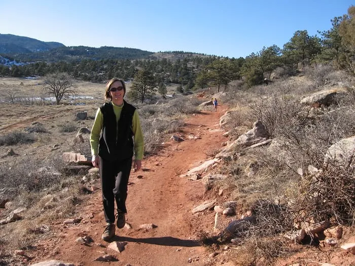
The trails
Distances and rules are from each managing agency’s own page, linked from the place. Sunrise to sunset; no camping at any of them.
- Hall Ranch, a mile west on Colorado 7. 13.6 miles. The Bitterbrush climb to the Nelson Loop is the Front Range’s classic mountain-bike ascent and a fine hike. Bikes yes, dogs no. Two lots, full by nine on summer weekends.
- Heil Valley Ranch, south off US 36. 19 miles. Picture Rock from the Lyons side links to Wild Turkey and Wapiti for a long loop. No dogs, no e-bikes; on-trail only, it is elk habitat.
- Rabbit Mountain, north-east off Colorado 66. The dry, low, early-season option with the view back to Longs Peak. Leashed dogs welcome; rattlesnakes in summer.
- Button Rock Preserve, seven miles west at the end of County Road 80. A gentle two-mile walk along the North St. Vrain to Longmont’s dam, and the Sleepy Lion loop above it. Foot only, no dogs.
- In town, the river path links the parks without crossing the highway. Flat, short, the right length for the evening. Leashed dogs; off-leash at Bohn Park.
Before you go
- Closures. The county closes trails after storms, for prescribed burns on the Nelson Loop between January and April, and for elk and raptors in season. County trail closures.
- Mud. Riding or walking a muddy trail ruts it for the season; turn back if you are leaving prints. Rabbit Mountain dries first, Hall Ranch by late spring.
- Weather. Afternoon lightning most summer days from about one o’clock; start early. Chinook winds through the canyon mouth in winter.
- Fire. Stage 1 and 2 restrictions are common from June; check the county’s current restrictions before any flame, including at the campground.
- Parking passes. The Town’s park lots use a parking pass on busy days; non-residents buy a day or season pass. The county trailheads are free.
- Emergencies. Call 911. Lyons Fire runs swiftwater rescue on the St. Vrain; the Boulder County Sheriff covers the open space.